
- Image by Habitat_de_lill on Pixabay.
When motivating volunteers to contribute open data to the OpenStreetMap project, it helps them to see quick results, especially for complex content such as 3D models. A guest article by Tobias Knerr from the OSM-3D-Edit project.
Open licenses are not only used for software, but also for data. One example of a successful open data project is the free world map OpenStreetMap, which has been providing open geodata for countless apps and websites for 21 years now. Despite some commercially motivated contributions, this is still mainly made possible by volunteers. Not only do they contribute a level of voluntary work that would be almost impossible to pay for, but they also enrich the project with their local knowledge and diverse interests. For many open data projects, a strong community is the key to long-term survival.
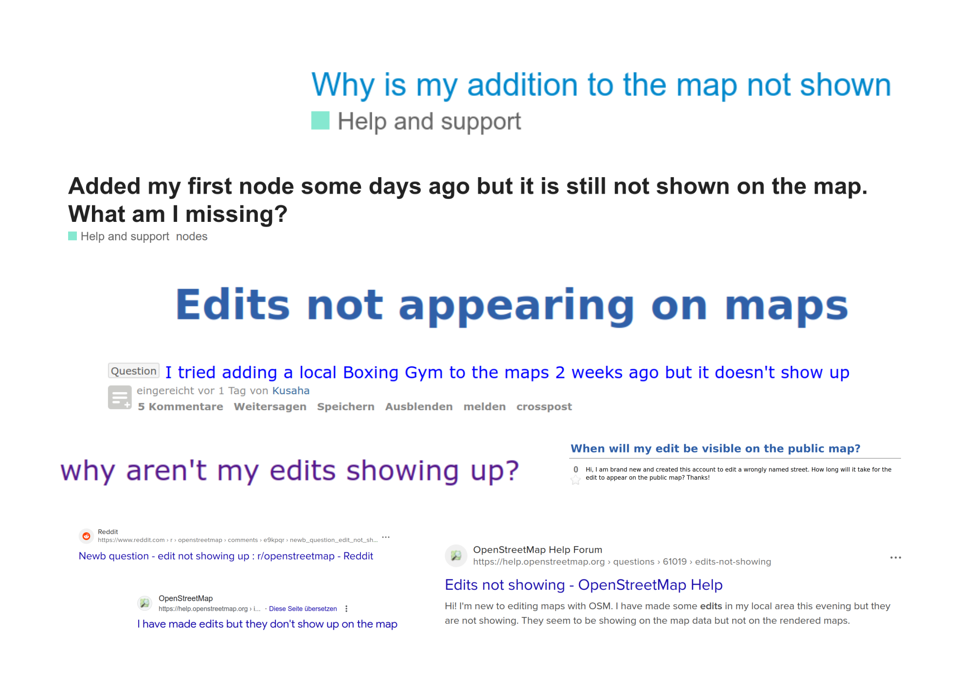
One factor contributing to the success of OpenStreetMap is relatively rapid feedback: while the update cycles of other map products are measured in months or years, changes to OpenStreetMap are usually visible within minutes. The sense of achievement that comes from being able to see the results of one's own work immediately is motivating and important to many contributors—as you quickly notice when it doesn't work:
In addition to the sense of achievement, the updated map also offers a control mechanism that allows any errors to be spotted immediately after data entry. However, it is even better if visual feedback is available during processing so that errors are not uploaded in the first place.
The goal of the current Prototype Fund project OSM-3D-Edit is to implement this idea for editing 3D data, which, due to its complexity, particularly benefits from immediate visual feedback. The aim is to integrate tools for editing 3D data directly into existing OpenStreetMap editor software. In addition to a real-time preview based on the 3D rendering software OSM2World, these tools also include automatic error checks, input masks, and tools such as floor filters for mapping interiors.
Display options and editor support for 3D data should not only improve data quality, but also motivate many people to collect the data in the first place. This effect has been seen time and again in the past, for example with the introduction of the first online 3D maps based on OpenStreetMap.
However, if you want to try your hand at contributing to OpenStreetMap, you don't have to wait for the new features. Thanks to user-friendly editing software and an interactive tutorial, it's easy to get started today: just click on “Edit” on the OpenStreetMap website, take your first steps, and enjoy seeing your contributions quickly appear on the map. Soon, perhaps, they will also be visible in 3D.
Tobias Knerr
Tobias Knerr is a freelance software developer and has been active in the OpenStreetMap community since 2008. He maintains open-source software for the 3D representation of OpenStreetMap data and, as part of OSM-3D-Edit, works on improving tools for working with 3D objects.